








Mayfield
There are currently no aircraft listed in Mayfield. Showing aircraft available in Kentucky.
 19
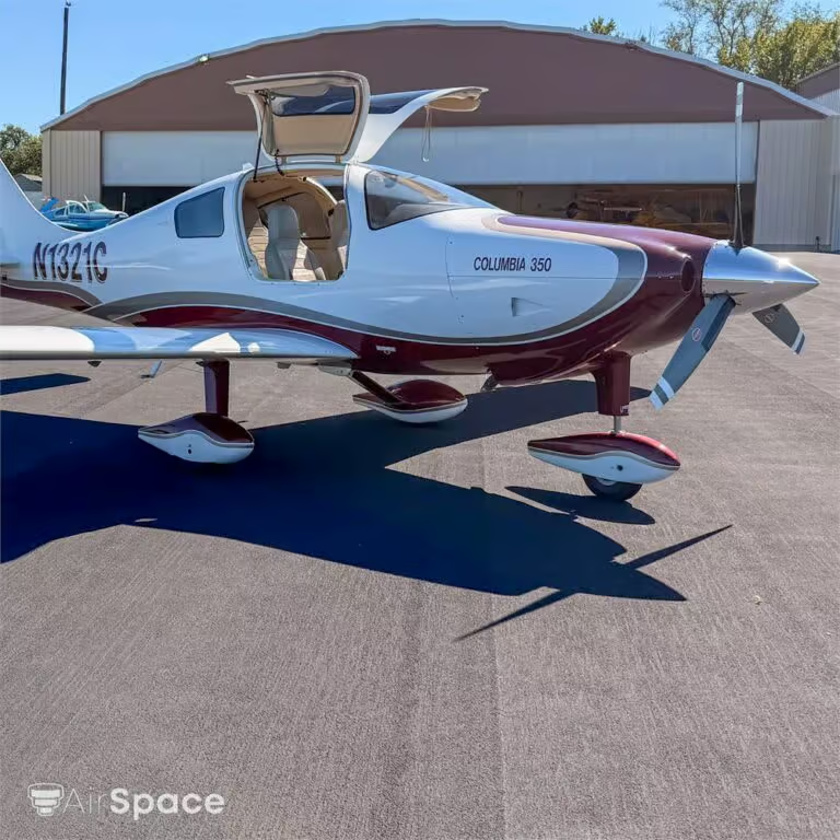
The Columbia 350 is a fast and comfortable four-seat airplane built for cross-country flying. It has a Garmin G1000 glass cockpit and is IFR equipped. The 310 HP Continental engine has low time since overhaul, and the three-blade Hartzell propeller…
Listed 4 weeks ago

 7
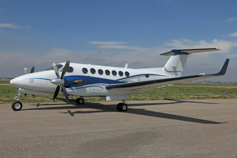
This aircraft features an eight-passenger configuration with double club seating. The forward cabin features a full deluxe refreshment centre and there are 110 outlets and data ports at each seat grouping. The seats are covered in Birch leather as well…
Listed 3 years ago · Updated 2 months ago

 9
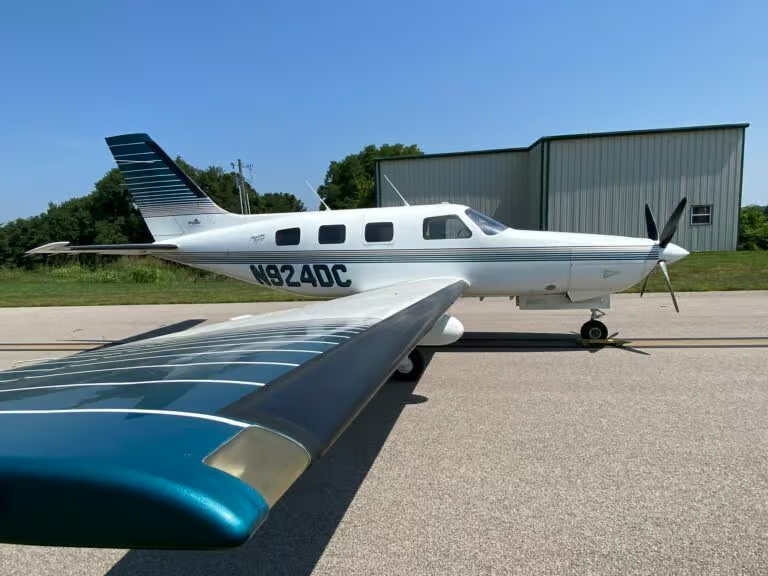
SIX PASSENGER EXECUTIVE INTERIOR CONFIGURATION COMPLETED IN TAN LEAHER, PYRAMID STORAGE CABINETS BEHIND PILOT SEATS.
Listed 3 years ago · Updated 2 months ago
 4
Bombardier's best-selling large aircraft platform combines world-class interior design with the ultimate value proposition. Widest-in-class cabin, worldwide reach, and the lowest direct operating costs make the Challenger 650 aircraft the winning choice. Type: Aircraft (Private Jet) Manufacturer: Bombardier Model: Challenger…
Listed 3 years ago · Updated 2 months ago
Showing 4 of 4
Couldn't load more.
Airports within 50 miles
- Zanesville Municipal Airport (KZZV) — 3.8 miles, Medium airport, 900 ft elevation, Zanesville
- Petro Heliport (4OI1) — 5.6 miles, Heliport, 808 ft elevation, Zanesville
- Riverside Airport (OH36) — 7.4 miles, Small airport, 700 ft elevation, Zanesville
- Genesis Health Care Heliport (4OH2) — 7.7 miles, Heliport, 783 ft elevation, Zanesville
- Parr Airport (K42I) — 9.4 miles, Small airport, 790 ft elevation, Zanesville
- Johns Landing Airport (9OI3) — 10.3 miles, Small airport, 1000 ft elevation, Zanesville
- Porter Airport (OH92) — 14.8 miles, Small airport, 1070 ft elevation, Hopewell
- Massengill Airport (7OI9) — 16.8 miles, Small airport, 955 ft elevation, Nashport
- Riverview Airport (OA85) — 17.3 miles, Small airport, 730 ft elevation, Dresden
- Morgan County Regional Airport (KI71) — 17.5 miles, Small airport, 1000 ft elevation, McConnelsville