Aeronauts Drone Imaging based in Tunbridge Wells Kent.
Creating solutions from the air using the latest drone imaging technology.
We are CAA Approved with PfCO, GVC and A2 Certification and fully insured for commercial operations.
Using the latest drone technology to capture Orthophotographs, Video and Images at high resolution for inspections, film, promotion, websites, events and advertising.
The complete drone solution from site survey to post production, solving your pain points and creating solutions to your problems.
We pride ourselves in offering the personal service on top of great value.
Video and photos can be supplied raw or edited to your specification in any format or resolution.
Hire a licensed CAA Drone Operator (PfCO) based in Kent.
Working with clients in Estate Agencies, Events, Commercial and Private sectors including Surveys and Inspections for the Building industry.
Services
We have a wide variety of clients using our aerial drone photography, filming and video services which include:
Aerial corporate videos for product launches, advertising, websites and promotion
Aerial drone photography for Estate Agents
Commercial property aerial photography
Events and sports aerial filming
Tourism, travel and hotel aerial photography and video
Indoor aerial photography
360° Virtual Reality Aerial Panoramas
Night photography and filming
Our largest business growth for drone aerial photography is now coming from using drone UAV’s for surveys, 2D and 3D mapping. Using our pre-programed flight paths and flying autopilot with pinpoint GPS positioning, we are able to produce very detailed and accurate results.
Photography & Videography
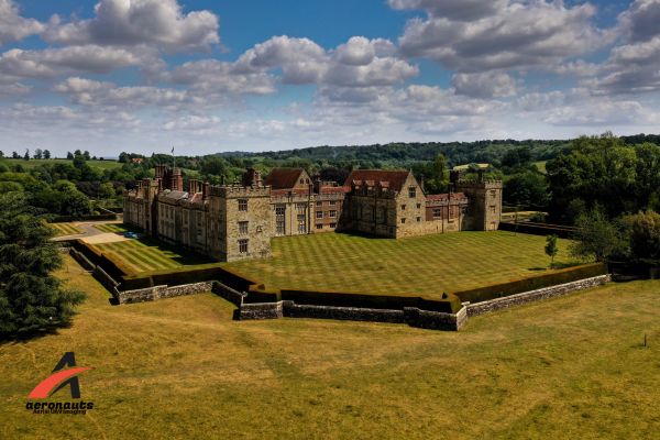
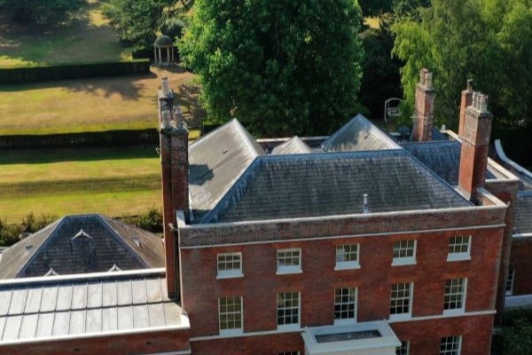
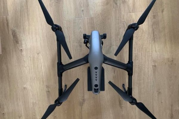
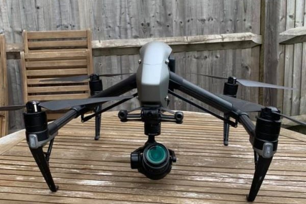
aeronauts produce amazing quality aerial drone photography and aerial filming in Kent and the South East using the latest GPS enabled multi-rotor UAV drone quadcopters . aeronauts are domestic and commercial drone photography flying up to 400ft, turning new ideas for aerial imagery into stunning reality. Our UK drone photography business is now producing cost-effective aerial cinematography and videography with shooting angles and reveals, previously only available on big budget productions. Our Pilots have a live HD video feed from the drone to the ground, allowing us to view and change in real time camera angles and setting from the ground. We operate with one or two crew depending on the job.
Estate Agent Services
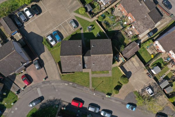
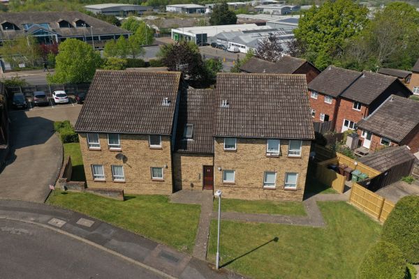
We produce dramatic aerial drone property photography and videos for residential estate agents. Aerial photos and videos capture the scale of the property, land, gardens and surrounding, not possible with ground-based photography. Our aerial filming using remotely piloted drones gives potential buyers an elevated “birds eye” view that makes your property portfolio stand out from the crowd on websites like Zoopla, Rightmove and Prime Location. estate agents, Drone Aerial photography will increase the marketability of your residential property. Houses and apartments that may look plain at ground level can be invigorated using aerial shoots. Often Google’s aerial maps and Google Earth’s aerial views via satellite are out of date and do not reflect the true picture. Our aerial photography can be taken from ground level to 400ft to show a current and accurate layout. Using drone UAS has now made Aerial photography for estate agents affordable. Clients are now asking for “aerial photos of my house” and are prepared to pay to gain an advantage when selling their homes. Using quality interior and exterior images coupled with aerial photography is a winning sales combination. This is particularly relevant for high value luxury residential property, where sales videos are now becoming more popular. aeronauts employ our own in-house editors using the latest professional Adobe Photoshop / Premiere Pro photo and video editing software. We offer professional editing services including, graphics, colour correction and colour grading services tailored to your requirements.
Drone UAV Filming & Photography for Weddings & Events
Weddings:
Capture stunning footage of your wedding day. With amazing shots of the venue, ceremony, guests and happy couple we can produce an amazing video for you.
Drones can be a fantastic option to consider when you choose your wedding videography and photography, as they can be used in a variety of ways. They can capture key moments of the day – such as videoing a special moment between the bride and groom or perhaps photographing a big group of guests from above. Drone filming can look so spectacular, because the footage can really reveal the grandeur of a wedding venue and its surroundings.
Events:
aeronauts Services provides aerial drone photographic solutions to events organisations or individuals requiring UHD video footage or high-resolution photographic images for those special events such as Weddings, Sporting or Corporate occasions, either outdoors or indoors. We have a wealth of knowledge, skills and experience in combining technical drone operations along with creative close precision photography.
Drones are an ideal solution for providing that spectacular aerial photograph or video capturing the moment and giving you that unique visual perspective, which just cannot be taken by ground-based photography.
We are more than happy to work alongside your event photographer combining conventional ground photography with the more dynamic aerial photography that only drones can provide at close range and from the air.
We can either provide you with the edited images or video footage or give them to your photographer on a convenient to use micro SD card.
Aerial Drone Mapping
Mapping with Drones, aeronauts fly our drones (UAV’s) with a high-resolution camera to collect 20 megapixel aerial photographs for a wide variety of commercial photogrammetry mapping uses. We can measure and map hard to reach areas like, quarries, landfill sites.
Depending on the client requirement, we use either PC based or cloud based drone mapping software suppliers Pix4D Mapper and DroneDeploy Pro to produce 2D photo-mosaics and 3D Digital Surface Models.
The flight altitude and image overlap is determined by the type of industry and the results required. We fly at a consistent height in a lawnmower path with the overlap of images normally set at 75-80% for most jobs.
2D orthophotography can be used to measure real distances, because it is an accurate representation of the Earth’s geographic surface.
The overlapping geo-referenced aerial images are stitched together in the software to produce a 2D Orthomosaic – 2D photo-mosaic.
Using this information combined with additional oblique side images taken at 30° and 45 ° angles the software can also produce a 3D model that can be viewed from any side or orientation. These 2D and 3D maps can be compared to older and newer versions to record change and calculate length, area, volume, cut/fill, and elevation between two or more dates
Gallery