South West Aerial Surveys


Hillside House, Langley Marsh, Wiveliscombe, Somerset, TA4 2UJ, United Kingdom (UK)
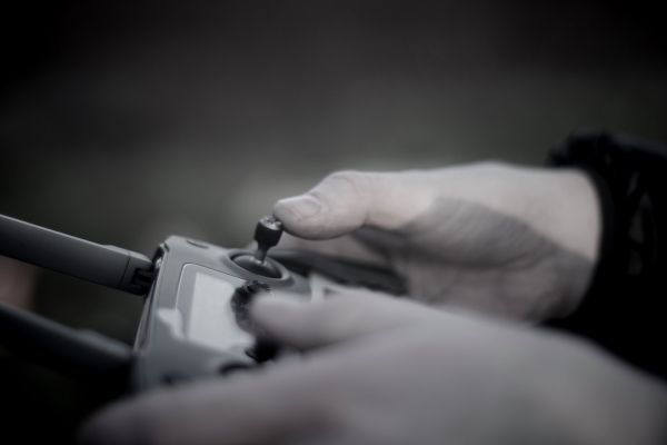
UAVs (or drones) are a disruptive new technology that can be safely, quickly and easily utilised in a range of applications. As innovators with a background in both commercial and private sector industries, our data collection services offer exceptional value and excellent ROI.
South West Aerial Surveys offers a streamlined workflow solution for a variety of projects. Our expertise lies in reducing man-hours and increasing return on investment by using a drone solution coupled to traditional inspection and survey methods. UAVs can collect accurate ground and building survey data as well as perform detailed asset inspections.
We also offer imaging and videography services for film, TV as well as companies, charities and private individuals.
Safe, insured, and up to the challenge we want your business.
We look forward to working with you soon.
Services
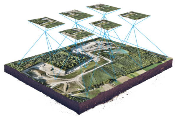
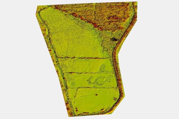
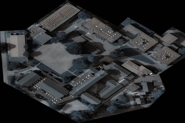
2D, 3D Models and Precision Asset and Topographic Surveys
Capture complex and large buildings and infrastructure with precision, detail, and accuracy.
Create your own “digital twin” that can be viewed by different customers, clients and stakeholders.
Measure boundaries and topography with high levels of absolute accuracy combined with ground control points (GCPs).
Export in a variety of formats ready for CAD and GIS.
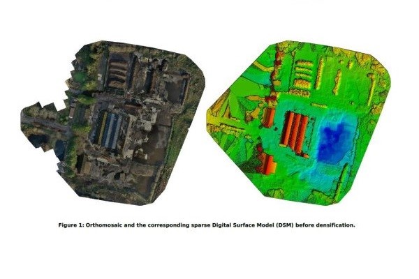
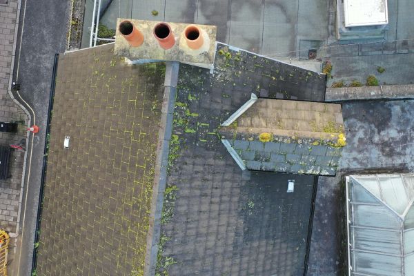
Inspection, Monitoring and Volumetric Analysis
Our UAVs can reach difficult areas with ease, providing a safe and cost-effective solution.
Inspect and check areas of infrastructure for signs of weakness or fatigue, using unique cloud-based software.
Measure angles, areas and volumes from a single cloud-based model.
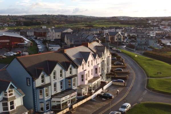
Promotional images and videography
UAV videos offer a fresh, unique way for you to tell your story.
Aerial imagery can provide new perspectives on products, projects, events, and your own business premises.
We use the latest drone technology allowing us to capture images from near roof-line to 120m altitude.
Images can be JPEG, raw-captured and even time-lapse.
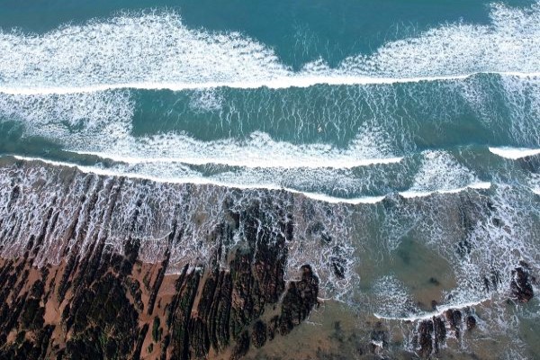
Gallery